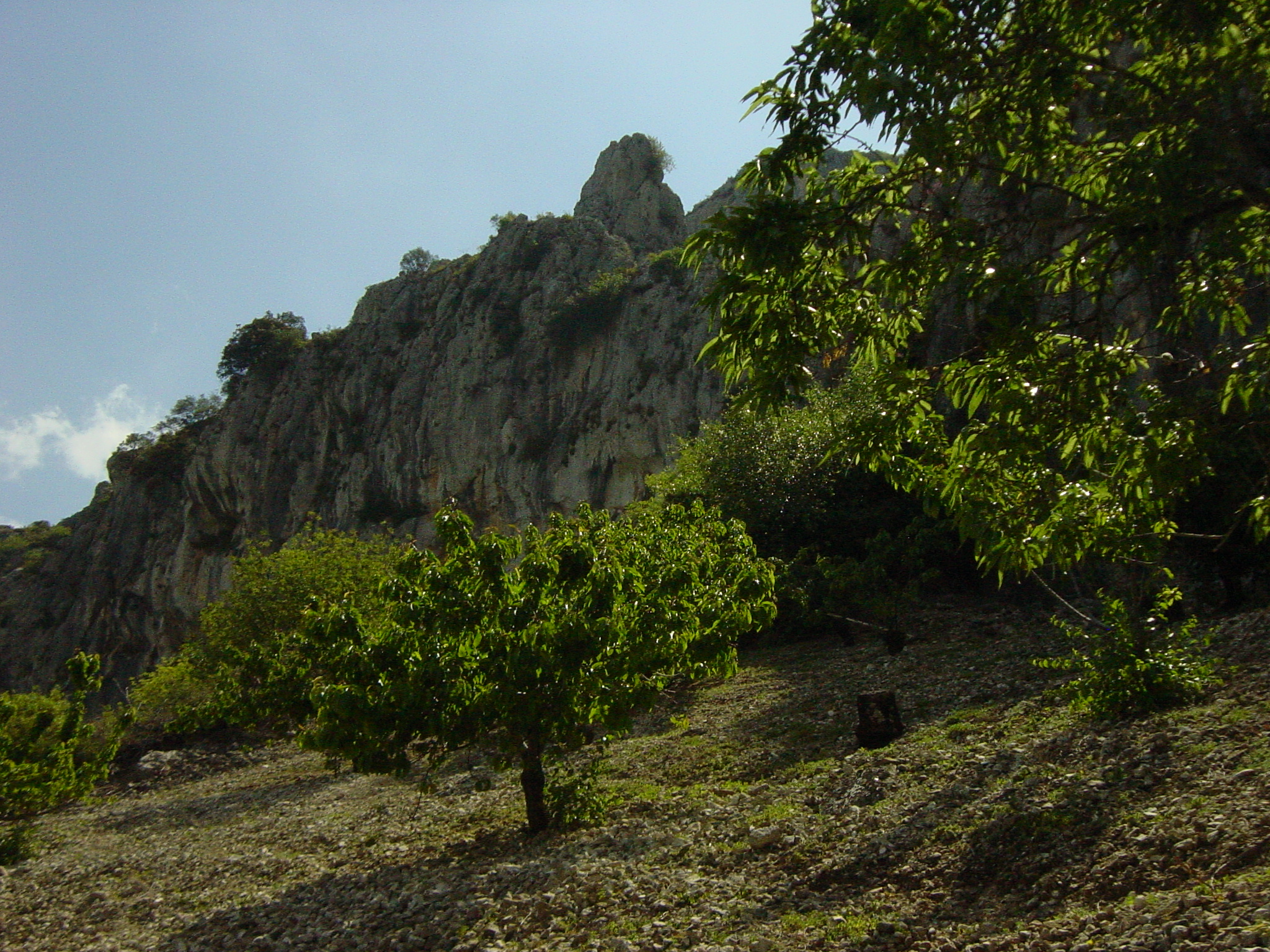
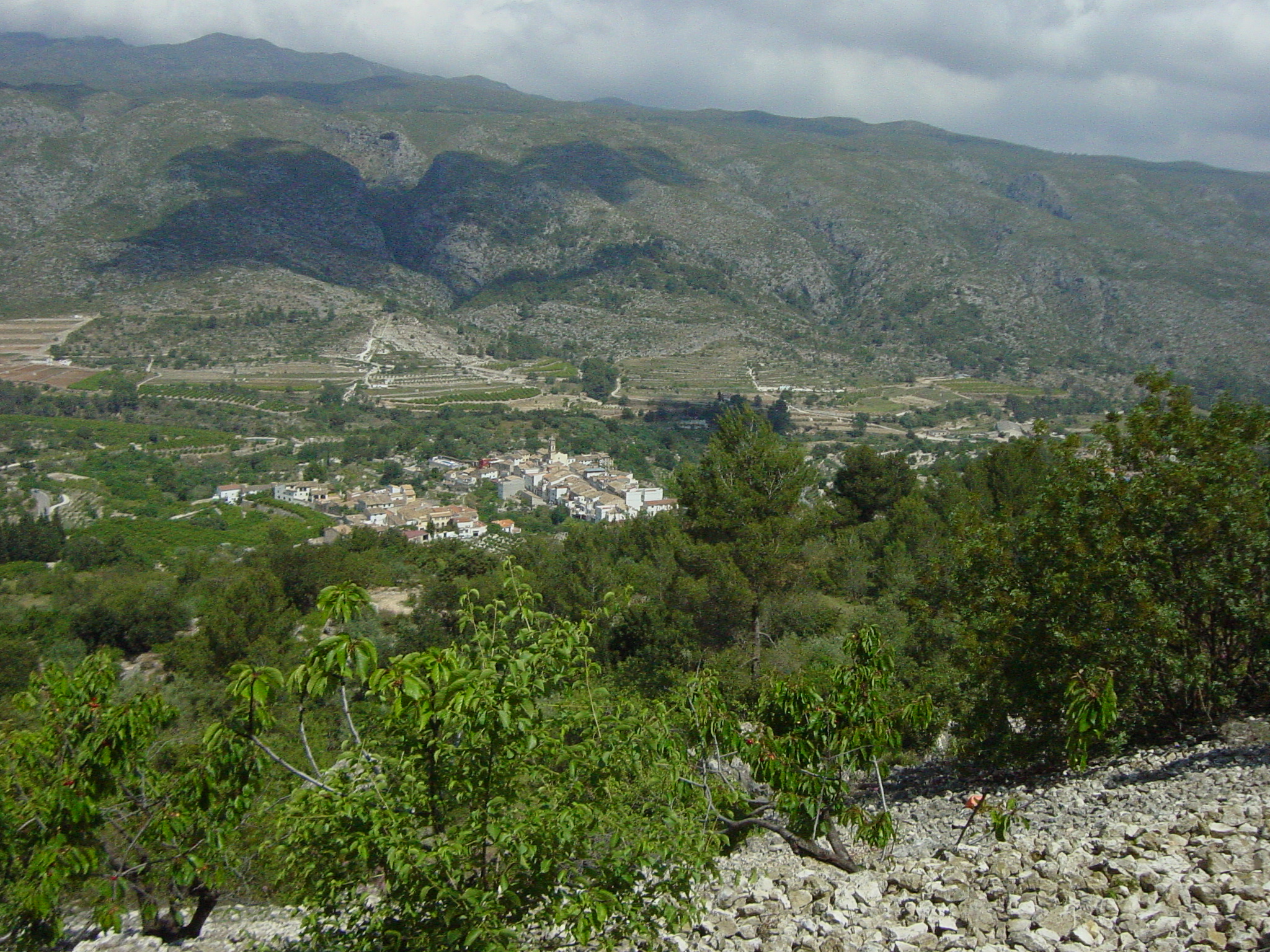
La Vall de Gallinera is a municipality made up of eight small urban centers called: Benirrama, Benialí, Benissivà, Benitaia, la Carroja, Alpatró, Llombai and Benissili. It is located in the northernmost part of the province of Alicante, in the interior of the Marina Alta region, and borders the province of Valencia.
The extension of its municipal area is 53.06 km2 forming a valley that due to its peculiar orography between mountains is symmetrical and exact where some truly spectacular panoramic views stand out, it is also located just twenty minutes from the beach.
The environment is predominantly rural, appreciating the harmony between the mountains and the fields of cherry, olive, almond, carob and orange trees. During the different seasons of the year you can see the terraces ,sustained by kilometers and kilometers of dry stone walls forming one of the most outstanding ethnological works in rural areas.
Traditionally, the economic base of the valley has been agriculture, mainly for the cultivation of cherries – a product with Protected Geographical Indication -, being also one of the earliest to be harvested in the entire peninsula, and that of olives, from which a high quality oil is extracted, although the service sector is now increasingly present due to the rise in rural tourism that has led to the establishment of numerous rural houses, restaurants and other businesses related to the production of traditional products.
Description
The Vall de Gallinera is a territory that offers natural resources and landscapes that make it a place of captivating beauty. Among the attractions of the place, we must highlight the numerous sources of natural water that are distributed throughout the entire valley, some of them converted into traditional washhouses endowed with a high ethnological value and also the eight urban centers, the charm of which invites us to walk through its narrow streets where we can also see first-hand the authenticity of its people.
In addition, the valley is endowed with an extensive historical and cultural heritage, highlighting the rock art shelters declared a World Heritage Site and the two castles that formerly guarded the entrances to the valley, the Gallinera castle also called Benirrama and the Alcalà castle also called de Benissili, whose origin dates back to the s. In XI and XIII they were the place of residence of Al-Azraq, a famous Muslim prince considered the banner of King Jaume I’s resistance against Christians.
The best-known and most representative topographic element of the Vall de Gallinera is the Penya Foradà, which in the months of March and October offers us an unprecedented spectacle. This is the famous solar alignment of La Foradà with the former site of the Franciscan convent of Benitaia. The solar alignment dates back to 1611, when the Franciscan friars who erected a convent next to Benitaia with the patronage of the Duke of Gandía, wanted it to be located in the precise place where, coinciding with the day of celebration of their patron Saint Francis of Assisi (October 4), the rays of the Sun will cross the Foradá and illuminate this construction and who knows if also a statue of the saint.
There are also routes and paths through which you can enjoy the majesty of the environment, highlighting the PR-V 167 that connects the towns of Benialí and Alpatró; the PR-V 43 that, running first through the neighboring valleys of Laguar, Ebo, Alcalà and passing through Penya Forada, ends at the top of La Safor at 1013 m. Tall; The Route of the 8 Villages that, starting from the Fuente de la Mata de Benirrama, runs through all the villages in the valley along the rural roads that link them, reaches the homonymous Fuente de la Mata de Benissili; the rock art trail of Benialí; and the paths leading to the two castles.
La Vall de Gallinera is an enclave with exceptional botanical, fauna and landscape values. It houses a high heterogeneity of ecosystems, thanks to its varied topography and different microclimates. There are 823 autochthonous taxa and 62 endemisms. These natural values have been maintained thanks to the relative isolation of the valley from the economic dynamics of nearby areas.
Cadastral data:
Datos catastrales:
| Partida: | F. Escritura: | Valor € | Superficie | Pol: | Parcela: | Referencia Catastral |
| La Bastida | 05/05/2008 | 6.000 | 2.787 m2 | 7 | 865 | 03136A007008650000ZI |
| Albosc | 01/08/2008 | 7.329 | 5.863 m2 | 7 | 812 | 03136A007008120000ZA |
| La Bastida | 26/09/2008 | 2.500 | 2.269 m2. | 7 | 861 | 03136A007008610000ZK |
| La Bastida | 26/09/2008 | 3.000 | 2.548 m2 | 7 | 868 | 03136A007008680000ZS |
| La Heretat | 13/02/2009 | 7.300 | 12.162 m2 | 7 | 668 | 03136A007006680000ZR |
| La Heretat | 13/02/2009 | 2.700 | 2.640 m2 | 7 | 672 | 03136A007006720000ZD |
| Foies de Benirrama | 12/03/2010 | 9.000 | 5.943 m2 | 8 | 209 | 03136A008002090000ZW |
| Foies de Benirrama | 12/03/2010 | 9000 | 3.345 m2 | 8 | 207 |
Ubicación:
Location:
g


